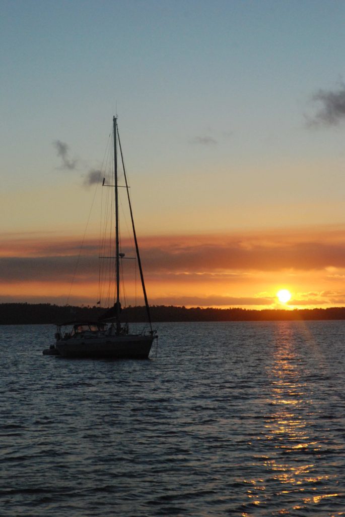
Although “sailing the seven seas” is a phrase referring to journeying across all of the world’s oceans it’s one that seems quite appropriate to our cruising this last year.
Leaving New Zealand saw us passage-making across the edge of the Coral sea and our Solomon Island and Papua New Guinea sails had us travelling in the Solomon and Bismarck seas.
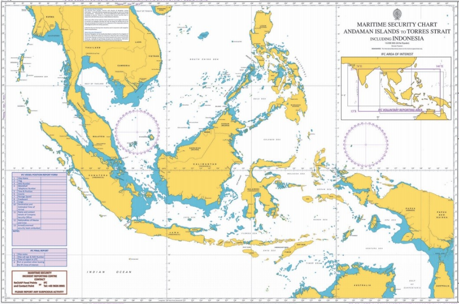
But Indonesia seems to be the hands-down winner when it comes to countries naming every little patch and stretch of water by a different title. Perhaps it should come as no surprise given just how vastly longitudinal a country it is. And also that no one can quite agree on just how many islands it has with answers veering from 18,307, to 13,466, (the Indonesian government officially names some 17,504 as belonging to it whilst only 16,056 have been formally recognised by the UN) which is not quite so strange as it first sounds when you consider the amount of volcanic activity across the archipelago creating and submerging new islands all the time.
So, since arriving in November 2017, we’ve traversed the Ceram sea, the Arafura sea, the Banda sea and the Flores sea – which is just the major ones. But as well as being full of different named seas, Indonesia likes to name the channels of water between two or more islands as well. Instead calling them channels, these are called either straits or selats.
Far from being an arbitrary or archaic naming system, they all have names because they all require local, expert seamanship tactics to navigate their tidal currents and streams. This is something made rather tricky by Indonesia being littered with different tidal types. Some are diurnal (one high tide and one low tide every day), several are semi-diurnal (two high tides and two low tides each day to roughly the same height or fall) and many are mixed (two high tides and two low tides each day but they are unequal, one rise and fall will be significantly greater than the other).
The strategy for crossing one or travelling along one either takes the form of doing lots of rather complicated workings out of the height of the moon at certain times of day or you adopt a more trial and error approach of seeing how much current you experience against you when you’re out there. Smaller or shorter straits or selats can allow for a more lackadaisical attitude as it won’t make too much difference to your sailing time. But some, such as the notorious Lombok Strait, which serves as one of the main passages for the Indonesian throughflow current, can reach up to 8 knots. If you get your timing wrong with that one then you could find yourself sailing backwards at quite a speed.
To date we have sailed Indonesia’s Dampier strait, Sagewin strait, along with selat Adi. We’ve cruised the Alas strait, the Sape strait and selats Moyo, Lintah and Sungian. And no, we don’t always sit down and work out the exact right time to tackle each one beforehand. Although I think we most definitely will with the Lombok strait if we hope to ever make it over to Bali!